“Did the Incas Design Machu Picchu for Disaster? Uncovering the Secrets of Its Fault Line Construction”
By combining satellite imagery, field measurements from four expeditions between 2001 to 2012, and geoarchaeological analysis, Menegat’s research showed the city was built atop fault lines of differing lengths and sizes. Some are 110 miles long.
“The principal result was the discovery that Machu Picchu was built where geological faults intersect,” Menegat explained.
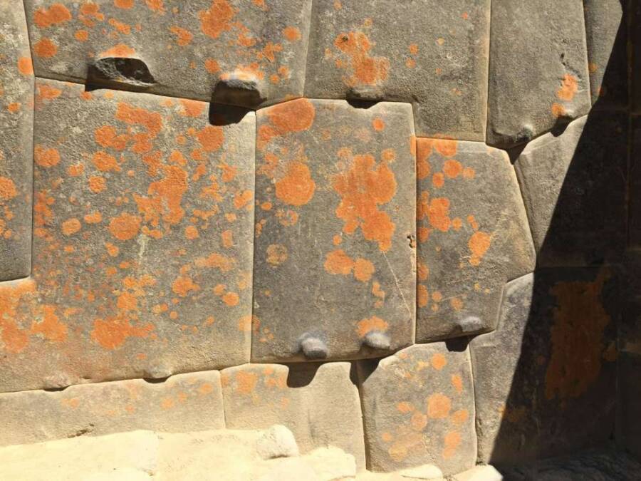
Rualdo MenegatRualdo Menegat explained that the already fractured blocks of rock usually came in shapes that naturally fit together. When earthquakes hit, these blocks would “dance” into their intended place, and keep buildings from collapse.
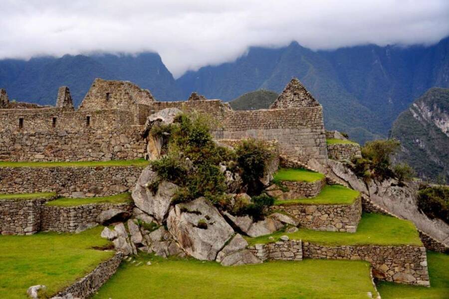
The underground confluence — marked by three main fault directions and two secondary fault directions that run north-south and east-west — nearly form an X shape. Menegat found that Machu Picchu’s main buildings and stairs were all oriented along the directions of these faults.
He also noticed that other Inca settlements like Cusco, Pisac, and Ollantaytambo were built atop fault line intersections as well.
Transporting rock, in other words, wouldn’t have been necessary for these sites.
“Where faults intersect, the rocks are even more fractured,” he said. “Therefore, they are places that have more loose blocks on the surface, and also places where [the rocks] can be easily removed to build terraces and buildings.”
Menegat said it would be “impossible” to build at such heights without rocks already fractured, and that the Incas didn’t even need to use mortar for these perfectly compatible stones to fit together.