“Hidden Wonders: Satellite Data Unearths Secrets of a Forgotten Continent Beneath Antarctica!”

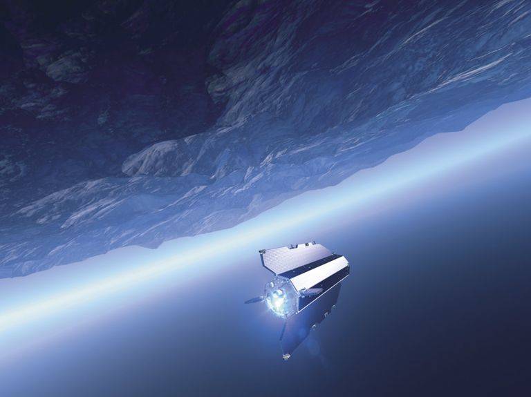
ESAAn ESA satellite orbiting the earth.
The information came from the Gravity field and Ocean Circulation Explorer (GOCE), a satellite that belongs to the European Space Agency (ESA). This particular satellite, however, has been out of orbit since 2013. Begun in 2009, it mapped out Earth’s gravity field with expert precision for four years but then was destroyed by the space research organization.
Even though the satellite no longer exists, there is still data being collected from it, and it has proved to be of great value to researchers. They’ve been able to use its gravity measurements to map out the Earth’s lithosphere, an outer section of the planet’s internal geology.
“These gravity images are revolutionizing our ability to study the least understood continent on Earth — Antarctica,” said study co-author Fausto Ferraccioli, science leader of geology and Geophysics at the British Antarctic Survey.
The continental remains beneath Antarctica’s surface have historically been difficult to study due to the massive sheets of ice that lie over it. But thanks to these satellite images, researchers have gotten a better idea as to where Antarctica was positioned billions of years ago.
The new research was published in Scientific Reports and detailed the geological history of Antarctica over the past 200 million years. The land movements were also condensed into a 24-second clip:
The video illustrates how Antarctica disconnected from what was once the landmass known as Gondwana, a subsection of the supercontinent Pangea. About 180 million years ago, Gondwana began to break up into separate landmasses. These masses eventually moved into their current locations which we now know as India, Australia, and Antarctica.